Orlando is on track for a 96°F high by Saturday, May 2, marking the most extreme temperature reading across the state this week, according to National Weather Service data. That figure represents a 9-degree climb from Orlando’s Tuesday high of 87°F, driven by dropping humidity that falls to 52% by Saturday.
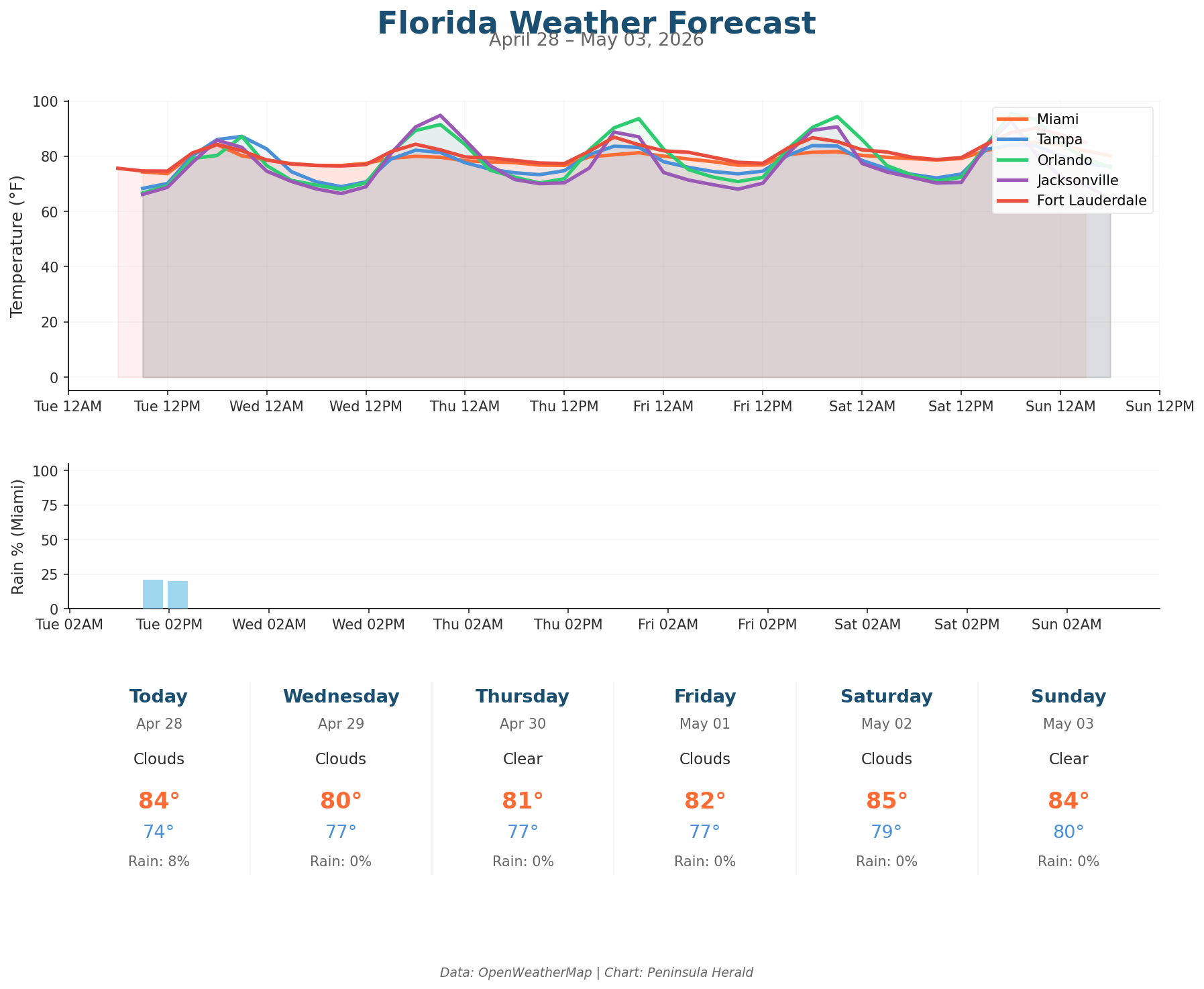
Tampa reaches 87°F today with clear skies, 60% humidity, and gusts up to 18 mph, while its low sits at 68°F. Orlando hits 87°F Tuesday with a low of 67°F and winds gusting to 10 mph. Jacksonville tops out at 86°F today, dropping to a low of 66°F with gusts reaching 11 mph. Miami posts a high of 84°F and a low of 74°F under cloudy skies, with 68% humidity, winds up to 14 mph, and an 8% rain chance — the only measurable rain probability in Tuesday’s statewide data.
Orlando climbs to 91°F Wednesday and 94°F Thursday before peaking at 96°F Saturday. Jacksonville jumps sharply to 95°F Wednesday, then pulls back to 89°F Thursday as gusts accelerate to 26 mph. Tampa cools from 83°F Wednesday to 80°F Sunday, when a 19% rain chance arrives alongside 81% humidity. Miami dips to 80°F Wednesday before recovering to 82°F Friday.