Orlando is on track to reach a scorching 98°F by Friday, June 12 — the highest forecast temperature across the state this week — while a 22-degree spread between Orlando’s 70°F low and Tampa’s 92°F high marks Monday’s most striking temperature contrast, according to National Weather Service data.
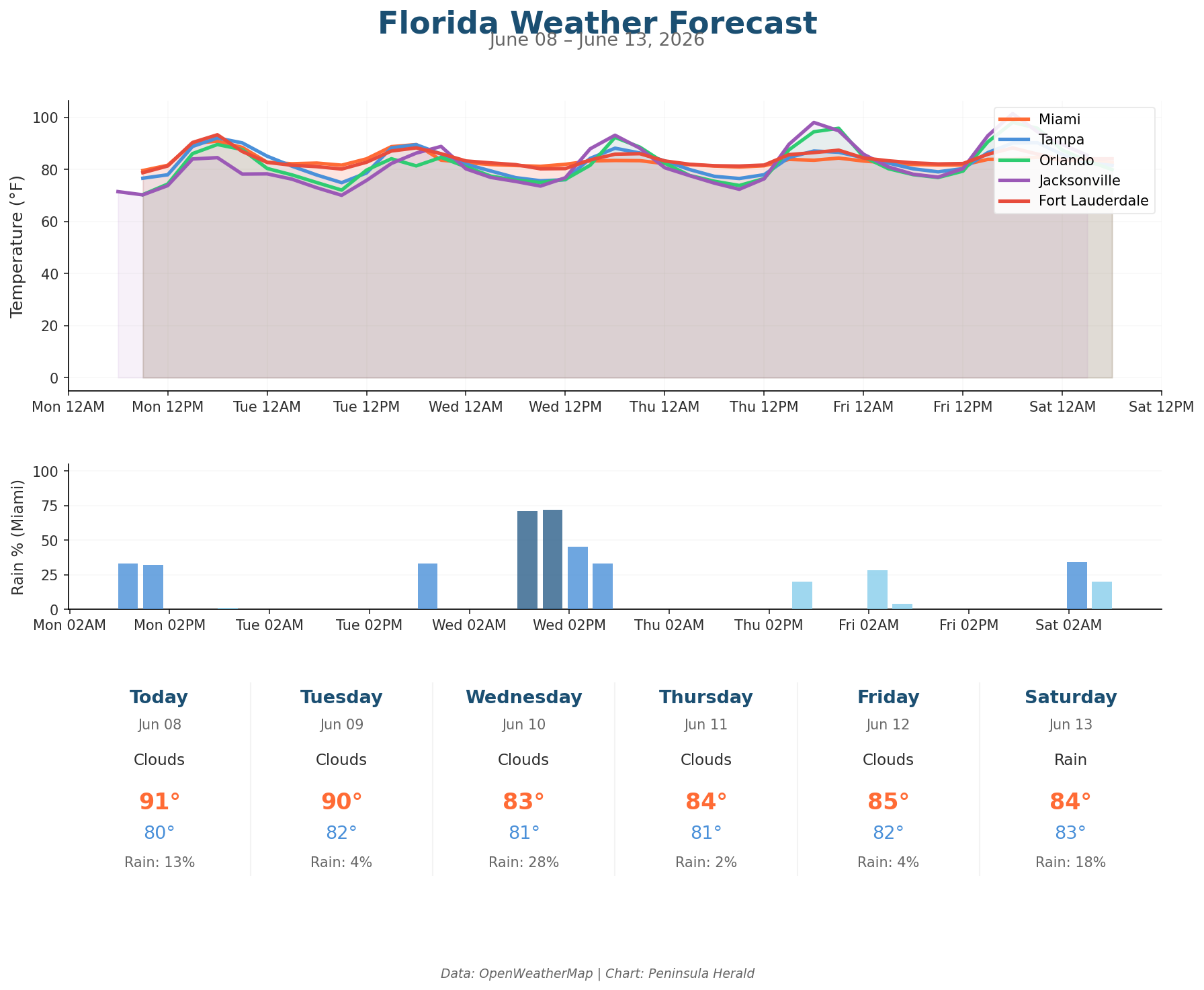
Tampa leads Monday with the state’s highest recorded high at 92°F, dropping to a low of 77°F, with 0% rain chance and humidity at 56% and winds gusting to 12 mph. Miami sits at 91°F with a 13% rain chance and 70% humidity, winds reaching 13 mph. Orlando hits 90°F with a low of 70°F, 51% humidity, and 0% precipitation. Jacksonville is the coolest major city today at 85°F, with a low of 70°F, 60% humidity, and winds gusting to 12 mph.
Tuesday brings Orlando down to 85°F with a 31% rain chance and 6.8mm of precipitation — the heaviest single-day rainfall in the three-day outlook. By Wednesday, Tampa climbs to a 42% rain chance with 3.1mm of precipitation and gusts hitting 20 mph, while Jacksonville surges to 93°F. Orlando then rockets to 96°F Thursday before peaking at 98°F Friday, as Miami cools to 83°F Wednesday with a 28% rain chance and winds gusting to 15 mph.