Weather
Post-Tropical Isaias Threatens Florida Panhandle With Up to 15 Inches of Rain
Post-Tropical Cyclone Isaias is pushing north through Alabama with flash flooding still threatening the Florida Panhandle and Big Bend region through the weekend.
Post-Tropical Cyclone Isaias is pushing north through Alabama with flash flooding still threatening the Florida Panhandle and Big Bend region through the weekend.
Hurricane Isaias, packing 80 mph winds and a 975 mb central pressure, is forecast to make landfall along the northern Gulf Coast late Friday or early Saturday.
Tropical Storm Isaias rapidly strengthened to a hurricane with 80 mph winds Thursday, threatening the northern Gulf Coast including the Florida Panhandle with surge and flooding.
Tropical Storm Isaias strengthened rapidly Wednesday, with hurricane watches posted from Bay St. Louis to Indian Pass as the storm targets the northern Gulf Coast.
Tropical Storm Isaias, packing 40 mph winds, is forecast to rapidly strengthen to 95 knots before striking the northern Gulf Coast Friday, threatening the Florida Panhandle.
Tropical Depression Nine formed Tuesday over the Gulf of America and is forecast to strengthen into a hurricane by Thursday before striking the northern Gulf Coast Friday.
Tropical Storm Bertha sits 110 miles southwest of Panama City with 50 mph winds, prompting warnings along the northern Gulf Coast.
Tropical Storm Bertha moves northwest at 5 mph with 50 mph winds, prompting warnings from the Florida Panhandle to Louisiana.
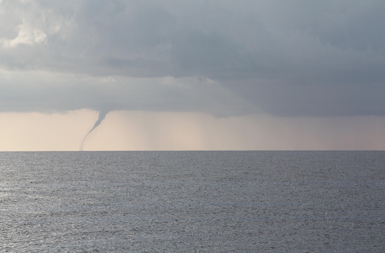
Post-Tropical Cyclone Arthur's remnants are forecast to bring 5 to 10 inches of rain and possible tornadoes to the Florida Panhandle through Friday.

NHC warns of life-threatening flash flooding across the Florida Panhandle as Potential Tropical Cyclone One tracks northeast from Texas coast.

NWS issues Red Flag Warning for Panhandle and Big Bend, rip current alerts for Jacksonville and Miami-Dade beaches through midweek.